
Everyday weather explained
Why Does Frost Form When the Air Is Above 32°F?
A thermometer measures the air around it. Frost follows the temperature of a leaf, lawn, or windshield. Here is why those numbers can differ and what to check before a cold night.
Quick answer
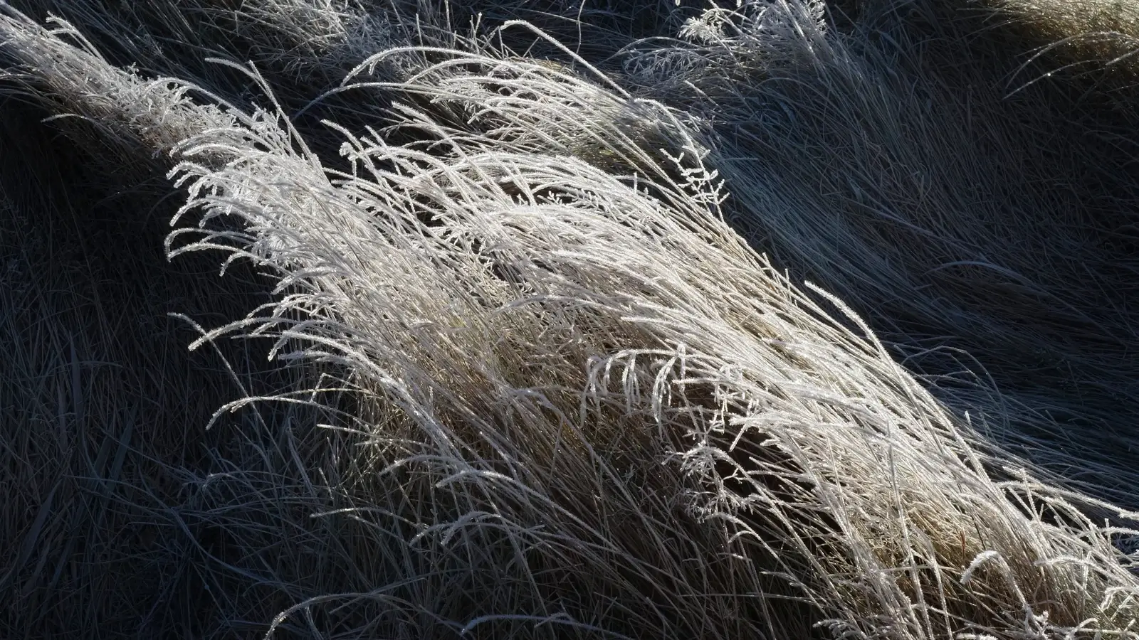
Yes, frost can form while the reported air temperature is above 32°F (0°C). An exposed surface can lose heat to a clear night sky and become colder than the shielded air thermometer several feet above the ground. Frost crystals can grow when that surface is below freezing and cold enough for water vapor to deposit as ice. A forecast low in the middle 30s can therefore bring frost, especially in sheltered low spots.
A white lawn beside a 35°F thermometer does not automatically mean the thermometer is wrong. The grass and the instrument may be measuring different parts of the same cold morning. Before comparing the numbers, separate the air temperature, the surface temperature, and the time of the observation.
The air reading and the frosty surface are different measurements
Weather thermometers are shielded from direct radiation so they can measure surrounding air. For example, the NWS climate-observation siting standard places remote air-temperature instruments 4 to 6 feet above the surface in a radiation shelter. A thermometer at that height is not measuring the skin of a grass blade, a roof panel, or a windshield.
After sunset, exposed objects continue emitting infrared energy. They cool when they lose energy faster than they gain it from their surroundings. Clouds and nearby objects can return infrared energy toward a surface. Under a clear sky, an exposed surface can have a larger net heat loss. The UCAR atmospheric-science framework explains this exchange between the surface and atmosphere.
The air touching a cooling leaf or lawn also cools. With little mixing, colder air can remain close to the ground while the thermometer above it stays warmer. The NWS La Crosse frost explanation gives an example of 36°F air at observing height with air near the surface at 30°F or colder. That illustrates a possible difference, rather than a fixed correction to subtract from every forecast.
Timing matters as well. Frost you notice after sunrise may have formed hours earlier, when the air was colder. An above-freezing reading taken now does not prove that the overnight air minimum stayed above freezing.
Frost crystals, frozen dew, and a freeze are different things
For frost crystals, water vapor changes directly into ice on a sufficiently cold surface. The World Meteorological Organization calls this deposit hoar frost. The surface must be below freezing and reach the frost point, the saturation temperature with respect to ice. Simply getting below 32°F is not enough if the air is too dry.
Another route starts with liquid dew. Droplets collect on a cooling surface, then freeze if it becomes cold enough. WMO identifies those frozen drops separately as white dew. Both can leave a white morning coating, so appearance alone does not establish the complete temperature history.
Dew point helps describe moisture availability, but an app's air dew point is not the temperature of the leaf. Below freezing, saturation over ice and over liquid water also differ. The NWS-hosted dew and frost tutorial explains the distinction. Use dew point alongside surface exposure, wind, clouds, and local observations instead of turning one displayed value into a guaranteed frost rule.
A freeze can occur without visible frost. Very dry air may allow subfreezing temperatures without a white deposit. Plant damage depends on the plant, its growth stage, temperature, and exposure time. A bare-looking leaf is not proof that it escaped damaging cold.
Why clear, quiet nights and low spots matter
The familiar setup combines a cool night, clear skies, light wind, and enough moisture. A breeze tends to mix the shallow cold layer with air above it, reducing the temperature difference. This limits radiation frost when that air is warmer. Wind does not prevent an advective freeze, when a cold air mass brings subfreezing conditions through a deeper layer.
Low terrain can add another difference. Cooler, denser air can drain downslope and collect in a hollow. University of Minnesota Extension describes these frost pockets and the effects of landscape barriers. A garden at the bottom of a slope may experience colder conditions than a nearby hillside or an airport observation several miles away.
Moisture has more than one role. Water vapor supplies material for ice, while soil moisture and ground cover affect heat storage and transfer. A damp site is not automatically the coldest site. Extension's explanation of frost protection also notes that moist soils can retain and transfer heat better than dry soils.
Why grass or a car can frost while nearby surfaces stay clear
A leaf in an open lawn has a different view of the sky from one under a tree. A canopy, carport, or nearby structure can reduce a surface's exposure to the clear sky. Materials also store and release heat differently. These differences help explain patches of frost within one yard.
The Met Office distinguishes ground frost from air frost. Ground frost concerns ice on cold surfaces, while air frost concerns below-freezing air. Grass may frost while a heat-retaining concrete surface remains clear. These terms describe different conditions rather than conflicting reports.
Treat the pattern as a clue, not a surface thermometer. A clear patch can reflect shelter, stored heat, or limited moisture. A frosty car does not establish that a nearby road is icy, and an unfrosted lawn does not establish that the road is safe.
What to check when the forecast low is in the 30s
Start with the NWS forecast for your location, including its hourly temperature, wind, sky cover, and any local frost or freeze message. Forecast air lows around 33–36°F deserve attention when skies clear and winds weaken. That range is a practical signal to investigate, rather than a promise that every surface will frost.
Read the local alert's actual wording. Criteria and seasonal issuance practices vary by forecast office. Some offices stop frost and freeze products once their growing season has ended. The NWS Hastings frost and freeze information provides one current example. Absence of an advisory does not guarantee a frost-free garden.
For plants, use guidance matched to the crop and cover. University of Minnesota Extension's row-cover guide explains why fabric weight, installation, and daytime ventilation matter. Cover performance varies, and insect netting does not necessarily provide useful frost protection. Plan protection before the coldest hours rather than waiting for a white coating to appear.
Make your next frosty morning a useful observation
A small record is more useful than guessing how many degrees to subtract from an app. Keep the air thermometer in its usual shielded location. If you add a contact probe, record exactly which surface it touches and follow its instructions. Moving the air sensor onto the lawn changes the measurement and breaks comparison with its earlier record.
- Record the time and air minimum. Include the time zone, sensor height, location, and period covered by the minimum.
- Describe the setting. Note clear or cloudy sky, calm or breezy conditions, open or sheltered exposure, and any low terrain.
- Record the deposit. Describe frost crystals, frozen droplets, or an uncertain ice coating. Photograph the affected surface and a nearby clear surface without assuming their temperatures.
- Compare like with like. Keep measured air, measured surface temperature, nearby-station data, and forecasts in separate fields.
Our daily weather-observation guide gives a broader logging method. WMO also notes that photographs of deposited frost and other hydrometeors can be useful observations. Several mornings recorded consistently can reveal which parts of your property frost first.
If fog was present and droplets froze onto exposed objects, consider a different process. Freezing fog can produce rime or glaze. A white coating does not make every kind of surface ice ordinary radiation frost.
Frequently asked questions
Can frost form at 35°F or 40°F?
Frost is possible with air in the middle 30s if an exposed surface becomes cold enough. There is no universal upper air-temperature cutoff. NWS La Crosse reports a local study with patchy frost at 38–42°F, while noting that the study did not account for sky cover or wind. Treat warmer-air frost as conditional, not routine.
Does frost mean the thermometer is inaccurate?
Frost alone does not establish an instrument error. Check the overnight minimum, observation time, shielding, and location before comparing the air reading with a frosty surface. Keep a surface measurement separate from an air measurement.
Can the dew point be above freezing before a frosty morning?
An earlier above-freezing dew point can accompany dew formation followed by freezing as a surface cools. That deposit is frozen dew. It is different from water vapor depositing directly as frost crystals, and one earlier dew-point reading does not establish the full overnight sequence.
Will my plants be safe if there is no visible frost?
A lack of frost crystals does not guarantee safety. Dry freezing conditions can still damage plants. Follow the local forecast and crop-specific guidance, and consider both the coldest temperature and how long it lasts.
Sources and further reading
References checked October 27, 2026. The diagram uses illustrative temperatures to explain different measurements. Definitions follow WMO, with practical context from NWS, the Met Office, UCAR, and university extension guidance.
- National Weather Service La Crosse: What causes frost?
- NWS Instruction 10-1302: Air-temperature siting standards, section 3.1.3 (PDF)
- WMO International Cloud Atlas: Hoar frost, white dew, and observing hydrometeors
- Met Office: Frost and ice
- NWS-hosted meteorology tutorial: Dew and frost development
- UCAR: Atmospheric Science Literacy Framework, energy exchange
- NWS Hastings: Frost and freeze definitions and seasonal products
- University of Minnesota Extension: Frost pockets and protection
- University of Minnesota Extension: Row covers and extending the season